Day 2: Headwaters, Aquatic Research, Landscape Conversion, and River Engineering


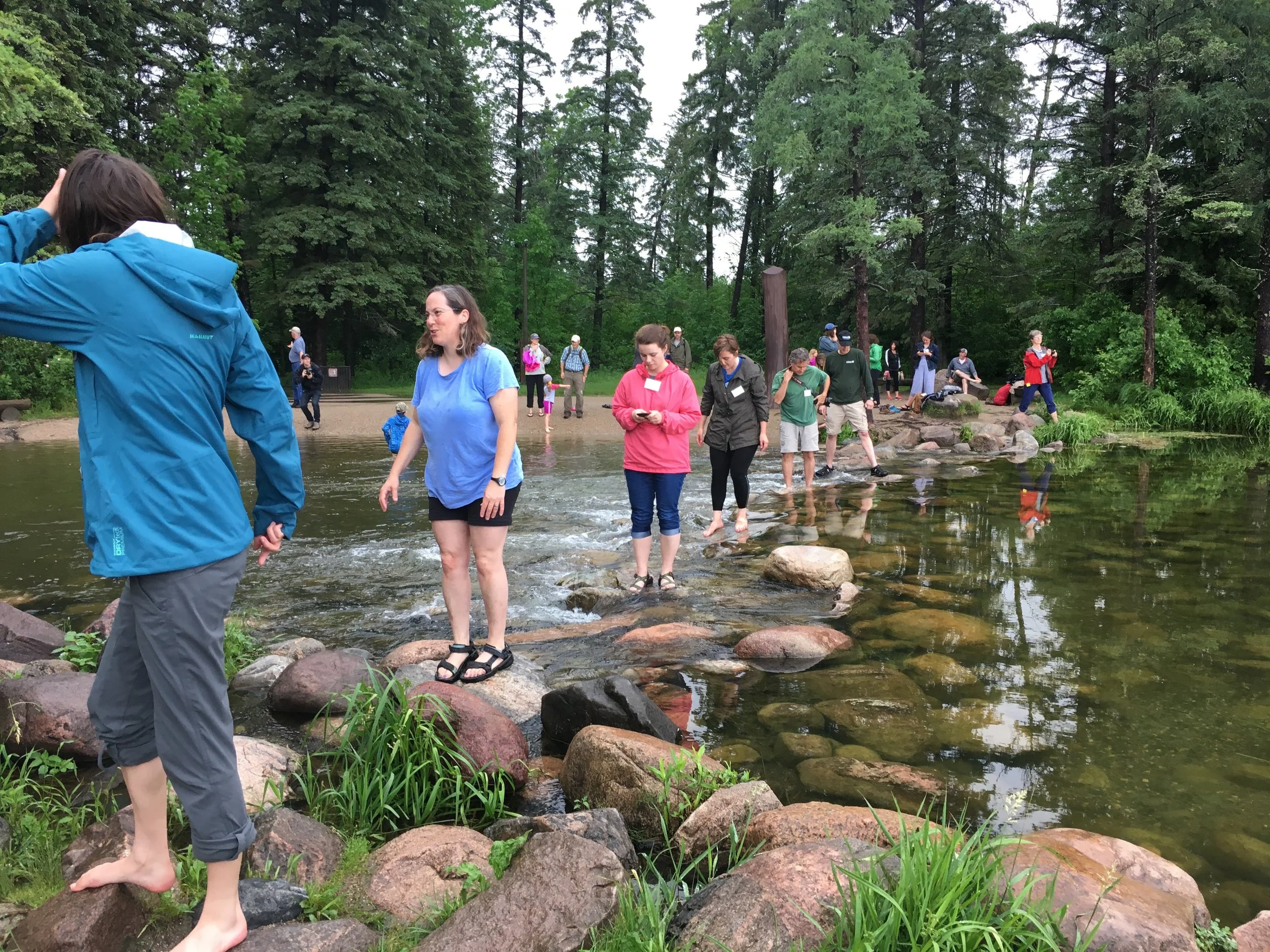


The Birth of a Nation’s River
While it is impossible to pinpoint exactly where a river begins, an 18-foot wide, knee-deep outflow of Lake Itasca is generally accepted as the headwaters of the Mississippi River. Here in Minnesota’s oldest state park, 1,475 feet above sea-level and 2,552 miles from the Gulf of Mexico, we’ll walk (or wade) across the fledgling river and talk about resource management, conservation and outdoor recreation in the Mississippi headwaters.
Scaling Up Water Research: Small-Watershed Studies Aim to Understand the Bigger Picture
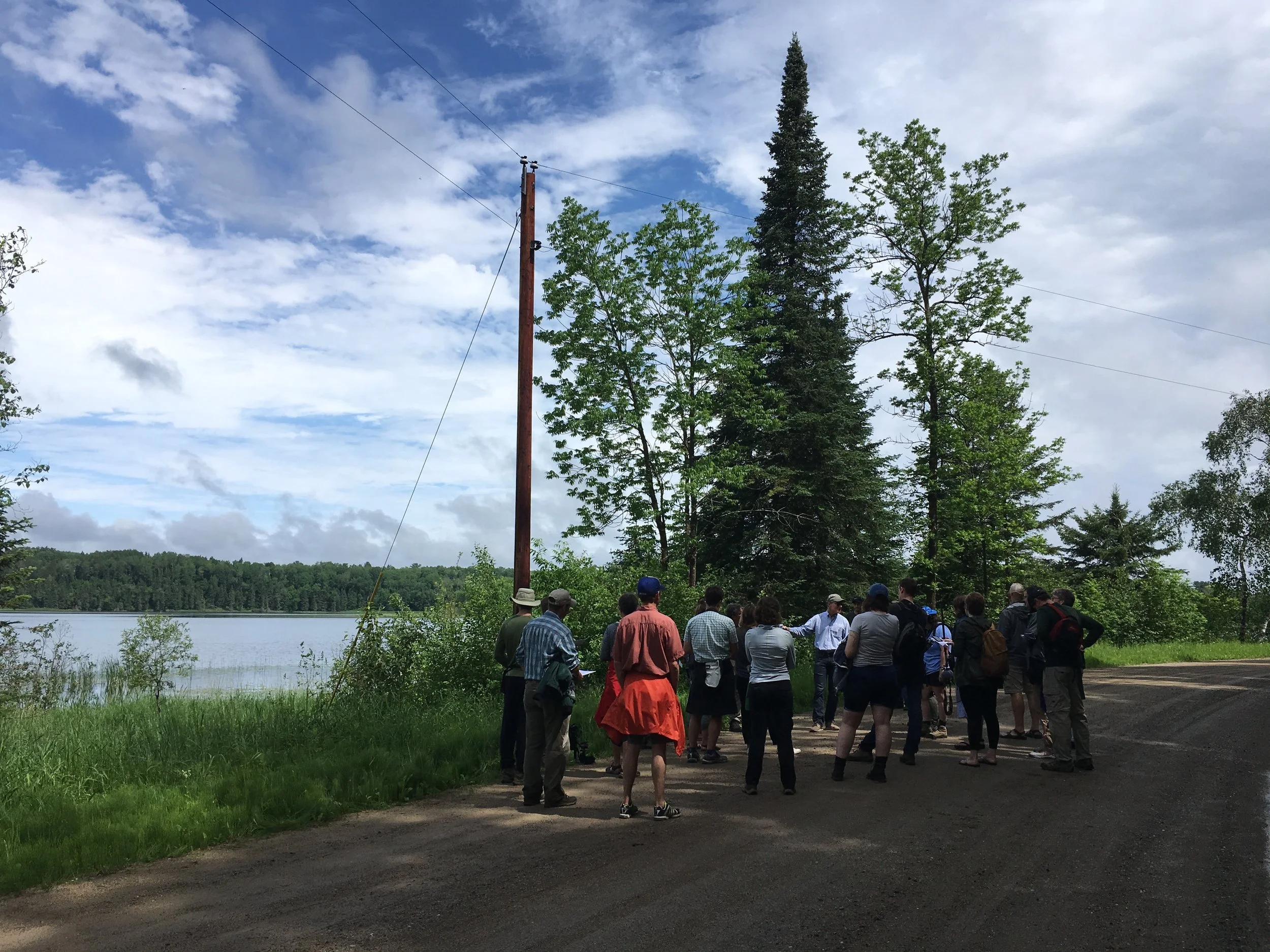
Located in the middle of the Mississippi headwaters, the Shingobee Headwaters Aquatic Ecosystems Project is a collaboration between the U.S. Geological Survey and researchers from universities across the country. A pioneer in interdisciplinary research, SHAEP works to understand how processes in lakes, wetlands and streams interact and scale up to have watershed-level impacts.
Will Change from Pine Plantations to Potato Plots Make the Headwaters Less Pristine?
In the last five years, the Upper Mississippi River watershed has lost hundreds of square miles of forests, marshes and grasslands to agriculture and urban development. In fact, Minnesota leads the nation in wetland loss and is second in deforestation. The problem is forests, marshes and grasslands are natural features that promote better water quality while farm fields, lawns and parking lots generally have the opposite effect. Now some worry that agriculture and development in northern Minnesota’s cabin country could have the river struggling with issues – like nutrient pollution and sedimentation – that used to be hallmarks of the river much further downstream.
Minnesota Headwaters Fund Aims to Protect Water Quality with In-The-Ground Investments
In 2015, The Nature Conservancy launched a three-year campaign to raise $10 million in private funds to pay for projects that demonstrate ways to protect and maintain good water quality. As market dynamics sculpt the landscape and a changing forestry industry sells off of timberland while high corn prices encourage agricultural conversion, TNC hopes their program can help mitigate impacts to Minnesota rivers.
The River We Have Wrought
7 pm – Here in the Twin Cities, the Mississippi River transforms. Thanks to the 29 locks and dams that run from St. Anthony Falls to Cairo, Illinois, what we traditionally recognize as a river was turned into a series of connected slack-water pools in the 1930s. Since then, the river has been kept at a minimum depth of nine feet to keep the waterway navigable for barges primarily carrying agricultural commodities like corn and soybeans. We’ll spend an evening with the man who literally wrote the book on how past human pressures shaped the Mississippi and how present pressures are still shaping it.