Lower Mississippi River Institute
April 24 - May 1, 2019
Illinois, Missouri, Tennessee, Arkansas, Mississippi & Louisiana

Ever since humans settled along its banks, the Mississippi River has been putting water where it’s not wanted. This is especially true along the lower section of the river where, built in response to the massive flood of 1927, an extensive levee system now constrains the flow of water draining 41 percent of the continental United States. While the levees don’t always hold the water back, they are successful enough to create rich farmland in the Mississippi floodplain and a highway for commercial shipping on the river itself. But they also prevent the river from delivering sediment to the Mississippi Delta, where the soil and silt of America once built wetlands and barrier islands along the Gulf Coast.

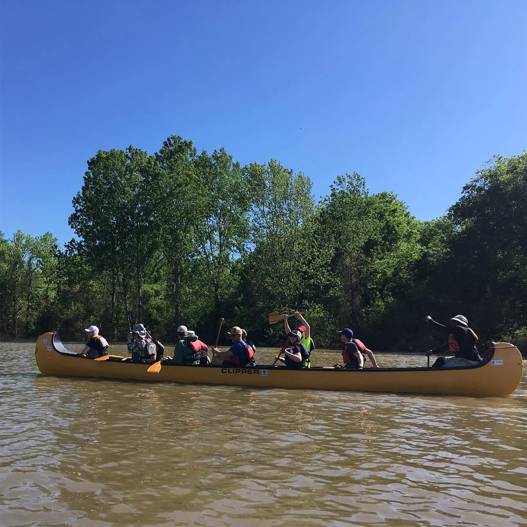
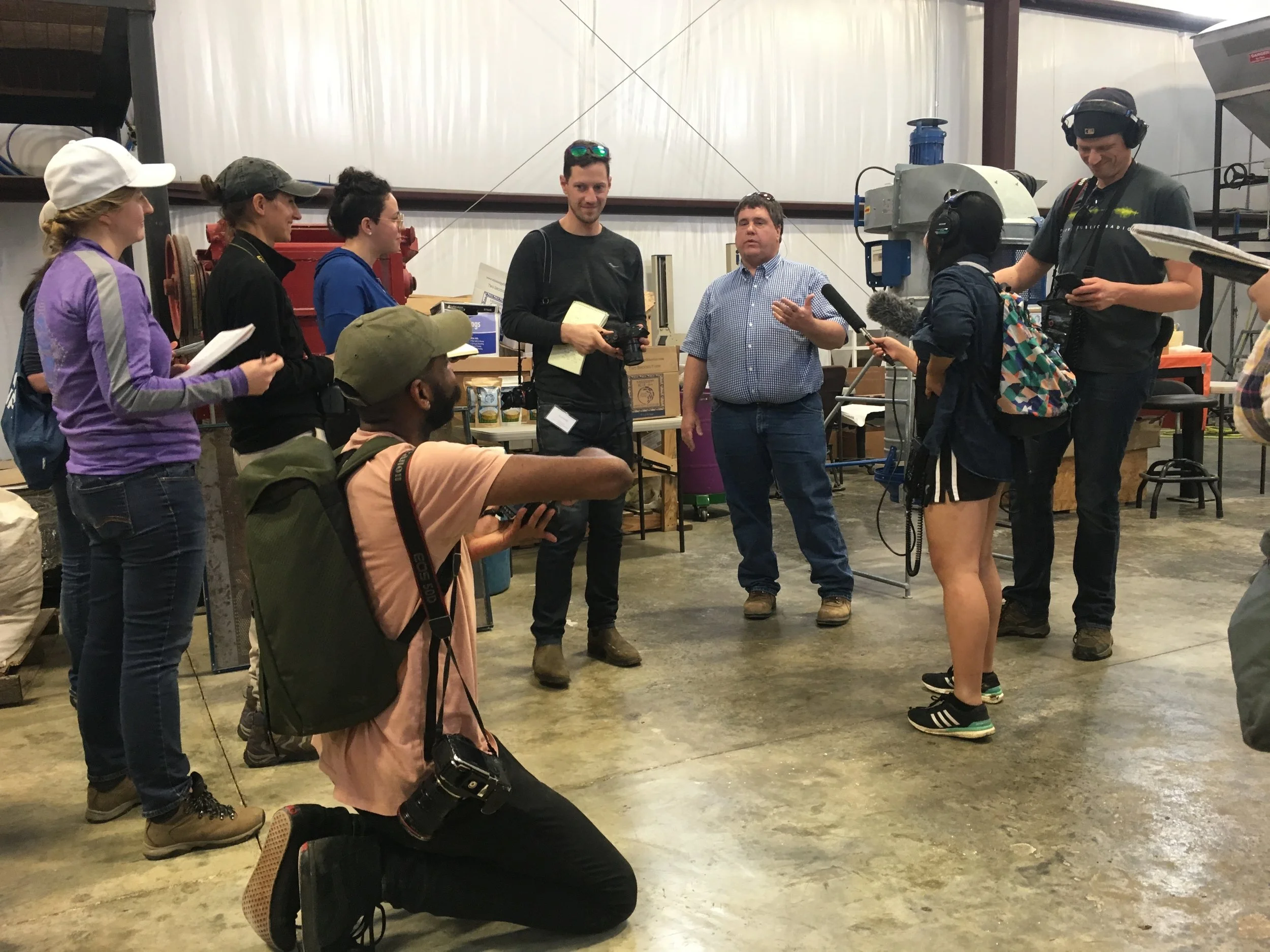
In late April of 2019, IJNR led a group of journalists from across the country on a weeklong, all-expenses paid learning expedition down the Lower Mississippi to get a first-hand look at some of the stories along its shores. Our trip took us from small river towns to large global ports as we traveled from St. Louis to New Orleans and explored topics like the state of our current flood control infrastructure, habitat restoration projects in the Mississippi floodplain and an ambitious new plan to divert some of the river’s flow so it can help rebuild the Louisiana coastline.


Where We Went & What We Did:


This program is supported by grants from the Walton Family Foundation, the McKnight Foundation, and other foundations and individuals.

IJNR maintains editorial independence and control in all of its programming and decision-making.